


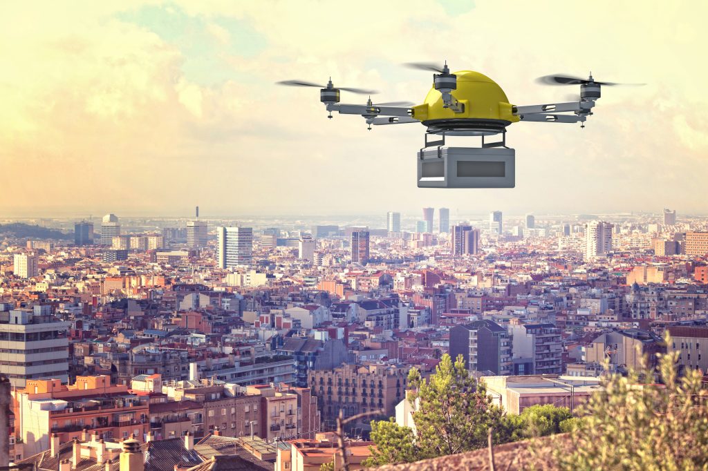
Superhighway for drones will cover a corridor of 165 miles
(Sustainabilityenvironment.com) – A consortium has submitted plans to build the first UK drones highway. Project Skyway proposes the construction of a 165-mile (265 km) superhighway to connect Midlands airspace with cities in the southeast. The leader of the consortium is the software company Altitude Angel which promises to revolutionize the system of driverless urban mobility.
“This is the most ambitious transport project proposed for the country since the advent of the railway network in the 18th century,” said Richard Parker, Altitude Angel, CEO and founder. “Britain is at the forefront of a second transport revolution. Drones have the potential to transport goods in a way our ancestors could never have imagined but would have surely understood. Britain can lead the world in these innovative and life-saving technologies, we have the skills and ambition to open our skies to safe and secure drone and air-taxi flights”.
The green light from the UK government is expected in the coming weeks and, if it were to be accepted, the predictions are to extend highway to Southampton and Ipswich, on the south coast.
Using detect and avoid (DAA) technology
Government support for the project would open the door to a new type of digital aerial infrastructure, creating the world’s first truly national drone economy.
But once in flight, how will it be possible to avoid drones congestion or collisions? The question arises, however, the answer is already understood in the most modern drone technology developed by the same Altitude Angel. It is the “detect and avoid” DAA system, developed by the company and tested on a corridor of 8 km in the city of Reading.
According to the creators of the project, DAA technology does not require special hardware onboard the drone. This means that it will be able to be used by a wide range of companies, opening the financial market of the transport goods on drones.
Superhighway’s infrastructure
To cover the initial 165 miles of superhighway, Altitude Angel will need 29 Arrow Towers. Where possible, existing infrastructure (such as telecommunications) will be utilized to enable safe flights in unlimited airspace.
The UTM (Unified Traffic Management) system, the twin of air traffic control but without a driver, will control the smooth operation of the highway.
From Altitude Angel we want to emphasize that, if the project receives green light, the DDA technology will be made available, allowing the export of this original transport system.